02

Research Stories

Research, redrawn for curious minds.

This collection turns important and engaging water research into visual stories that wider audiences can understand—without simplifying away the evidence, uncertainty, or scientific meaning.

Academic papers often hold powerful ideas behind technical language and static figures. Research Stories opens that knowledge through narrative, graphics, and careful explanation.

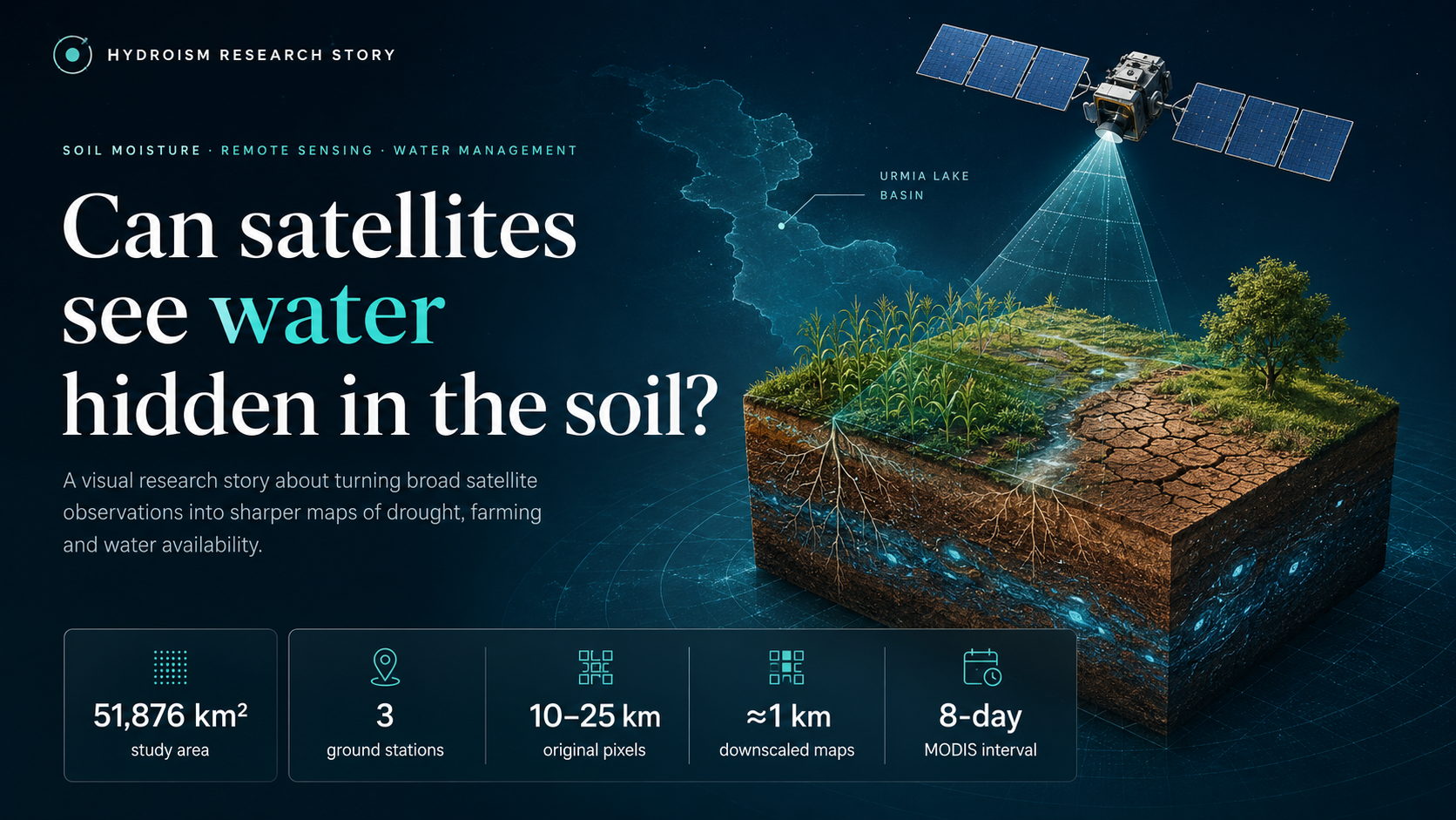
Satellite scanning the Urmia Lake basin above wet and dry soil

Research Story 01 · Remote sensing

Can satellites see water hidden in the soil?

A visual journey from three ground sensors and city-sized satellite pixels to sharper maps of drought, farming, and water availability.

2023Published research≈1 kmMapped detail8 minVisual read
Explore the story
01

Editorial method

Make the science easier to enter—not easier to misread.

01

Select

Start with research that carries an important idea, useful evidence, or a story worth understanding.

02

Translate

Rebuild the scientific logic in plain language while preserving methods, uncertainty, and attribution.

03

Visualise

Use purposeful graphics and editorial structure to make complex relationships easier to see.

A growing collection

Remote sensing, floods, rivers, climate, infrastructure, and the systems that connect them.

New stories will be added selectively as the collection grows.

Explore Hydroism

Engineering practice, products, and stories in one place.